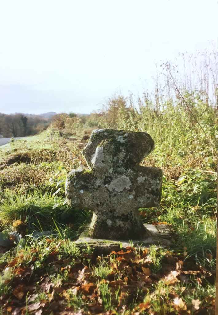
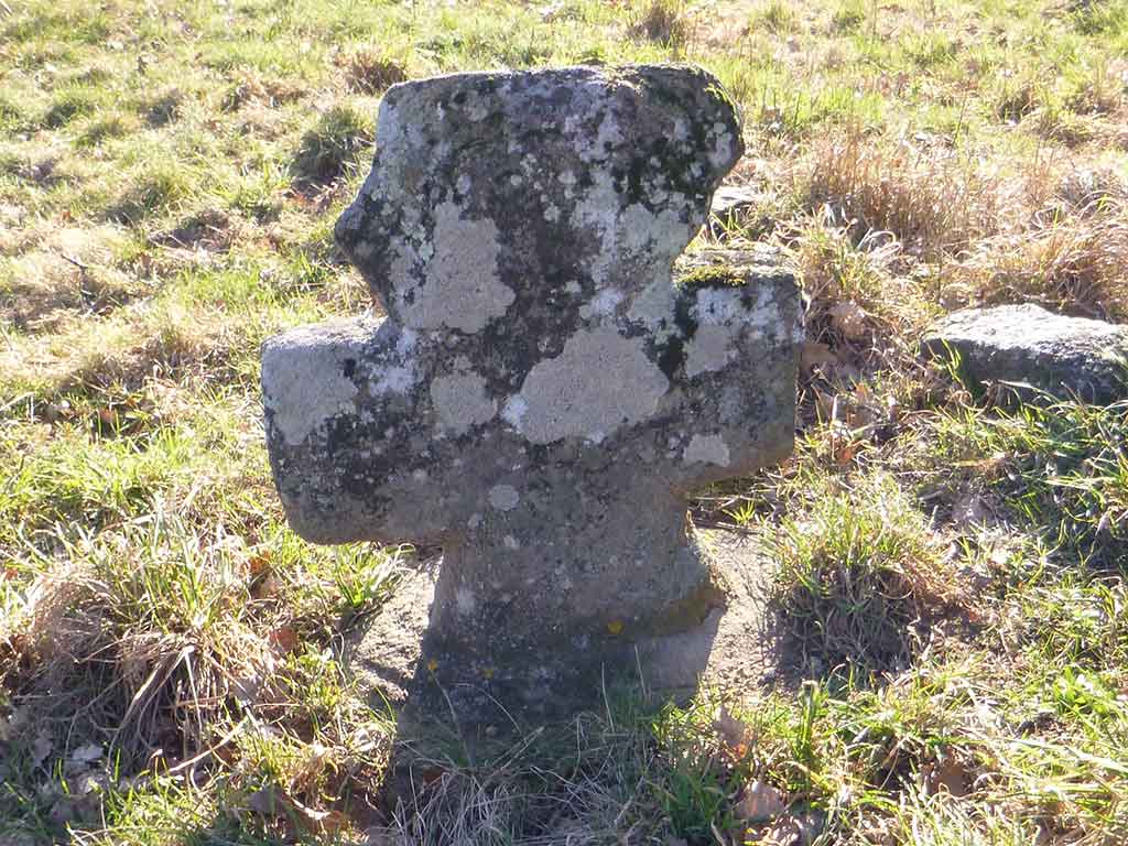
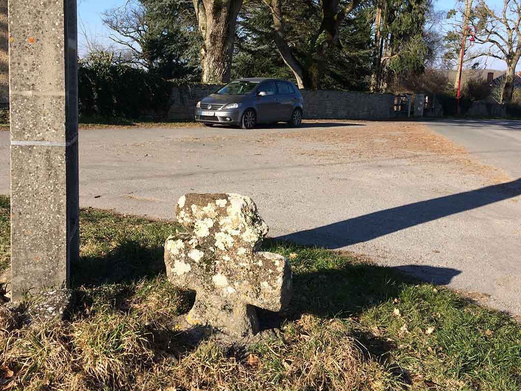
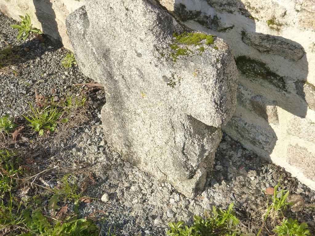
Cross at the access to Le Mont-Sarrazin known as the Croix du Petit Ris

Identity card
Inventory number: # 47
Commune : Crozant
Visibility : Cross no longer in existence
Presence of cupule : unknown
Presence in the Napoleonic map : yes
Reference in the Napoleonic map : 1865/5
Dimensions* :
- height : cm
- length of arms : cm
- thickness : cm
Dating ? Function ?
To find out more, let's dig into the depths of the territory's history...
Characteristics
*
This cross disappeared c1970.
Mont-Sarrazin is indicated as a cowshed on the Cassini map.
This cross is shown on the Napoleonic Map (sheet 1865/5).
This cross was located at the crossroads of the Chemin d'Epagne/le Montsarrazin and the Chemin de la Querlière.
Its location is currently shown as under the farm building. It is possible that it was buried in the ground.
* Characteristics recorded in 2013 by Noëlle BERTRAND and François TABOURDEAU
Restoration / Repairs
Date of restoration and/or repairs :
This cross has not been restored or repaired.
How it was made
Granite is ubiquitous here, it is everywhere in the fields
Each of the inventoried crosses was made by a different stonemason.
However, it seems that they all used the same model or « pattern ».
Each carver made his sculpture from some local granite stone known as a fieldstone.
Find out more with the expertise of Didier Fauguet, stone sculptor and carver.
Location
Crozant type crosses are located between Oïl and Oc on the territory of the "croissant marchois".