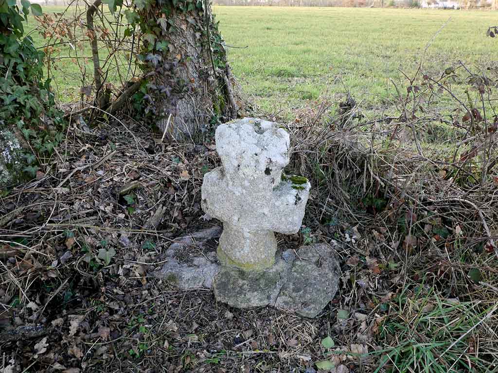
Cross at the access to Les Ecures

Identity card
Inventory number: # 23
Commune : Crozant
Visibility : Cross visible from a public space
Presence of cupule : yes
Presence in the Napoleonic map : yes
Reference in the Napoleonic map : feuille 1865/15
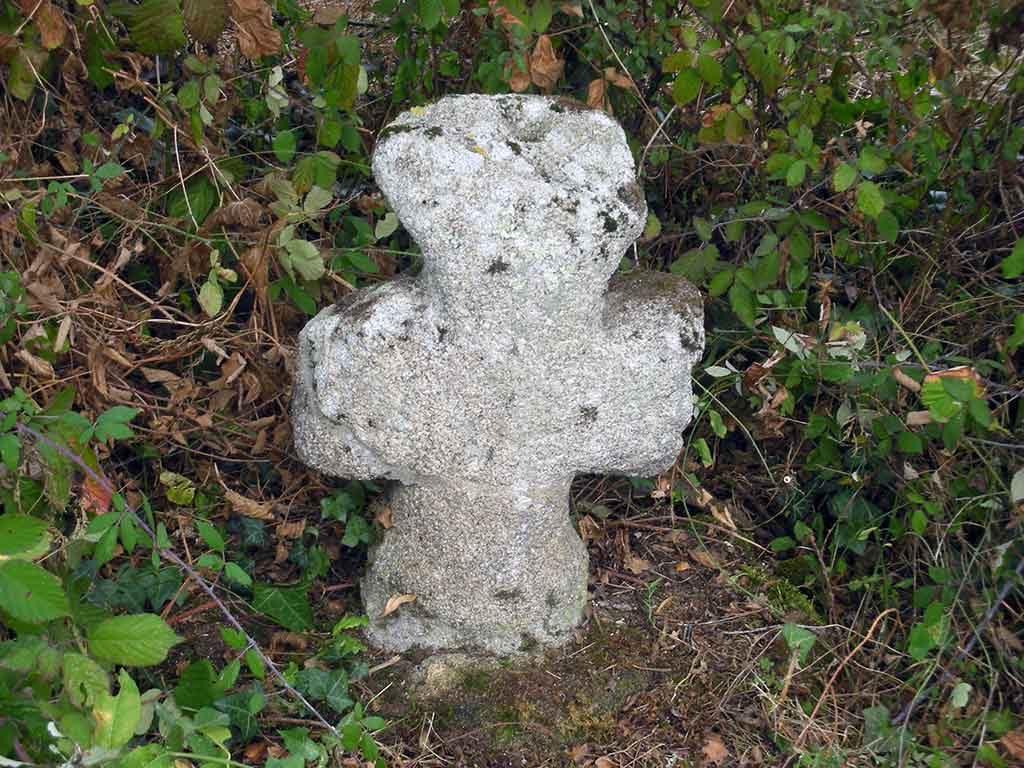
Dimensions* :
- height : 67 cm
- length of arms : 42 cm
- thickness : 17 cm
Dating ? Function ?
To find out more, let's dig into the depths of the territory's history...
Characteristics
*
Cupule of 5 cm diameter and 4 cm deep.
* Characteristics recorded in 2013 by Noëlle BERTRAND and François TABOURDEAU
Restoration / Repairs
Date of restoration and/or repairs :
This cross is shown on the Napoleonic map at the crossroads with the Saint-Sébastien road (sheet 1865/15).
It was broken by the EDF when installing a pole in 1994, it was then reinstalled a few metres away.
How it was made
Granite is ubiquitous here, it is everywhere in the fields
Each of the inventoried crosses was made by a different stonemason.
However, it seems that they all used the same model or « pattern ».
Each carver made his sculpture from some local granite stone known as a fieldstone.
Find out more with the expertise of Didier Fauguet, stone sculptor and carver.
Location
Crozant type crosses are located between Oïl and Oc on the territory of the "croissant marchois".
This cross is located in the hamlet of l'Age-Quatre-Maux at the crossroads of a path leading to Les Ecures
Photo gallery


© All rights reserved
Walks and Cycle rides
The walks
You can discover this cross during a 12,6 km walk from l’Age-Quatre-Maux.
Cycle rides
You can discover this cross during the « Cyclo des croix de Crozant » ride available on izi.TRAVEL.
Below, you can start to learn more about this cross.